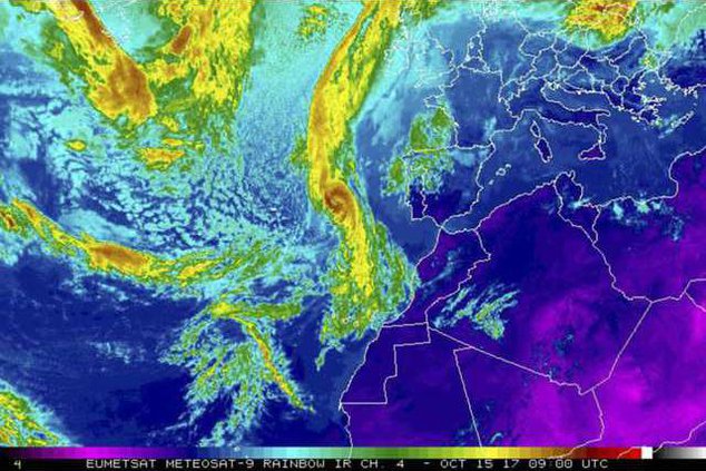
A new weather satellite will soon help the Western U.S. spot storms and wildfires before they happen.
The U.S. National Oceanic and Atmospheric Administration launched its new GOESS-S satellite on Thursday from Cape Canaveral, Florida.
The satellite will sit about 22,300 miles above Earth and scan different parts of the world, according to The Verge, taking pictures five times faster and at four times the image resolution as previous probes.
This means that the GOESS-S can see features in the atmosphere change every 30 seconds, while previously, the fastest we could do was every five or 15 minutes, The Verge reported.
The satellite will focus its attention on the Western U.S., Hawaii, Alaska and parts of the Pacific Ocean, including New Zealand and Australia, according to Florida Today.
The GOESS-S can scan Earths clouds and storm patterns quickly, offering meteorologists a chance to see different types of clouds, observe temperatures and track lightning strikes.
This will help weather watchers identify forthcoming storms, natural disasters and lightning-caused wildfires.
Tim Walsh, acting GOES-R system program director, told The Verge that the satellite will go under months of testing before it will be fully operational at the end of the year.
The NOAA previously launched the GOES-16, which helped the administration notice wildfires in Texas ahead of time, according to Phys.org. The GOES-16 also helped forecasters spot new wildfires in Kansas, California and Oklahoma.
Specifically, the satellite helped forecasters monitor wildfire smoke in Southern California last year, which led to thousands of evacuations.
The satellite took images at a super fast rate, allowing weather observers a chance to see the difference between smoke and clouds, according to SFGate.com.
"We are using the GOES-16 data in ways we planned and in ways we didn't even imagine," National Weather Service director Louis Uccellini said, according to Phys.org. "GOES-16 has been a game changer for monitoring hurricanes, wildfires, severe storms and lightning. Now that it is operational and the data is incorporated into the forecast process, we will be able to use it across all our service areas, starting with winter storms."

